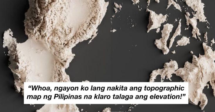
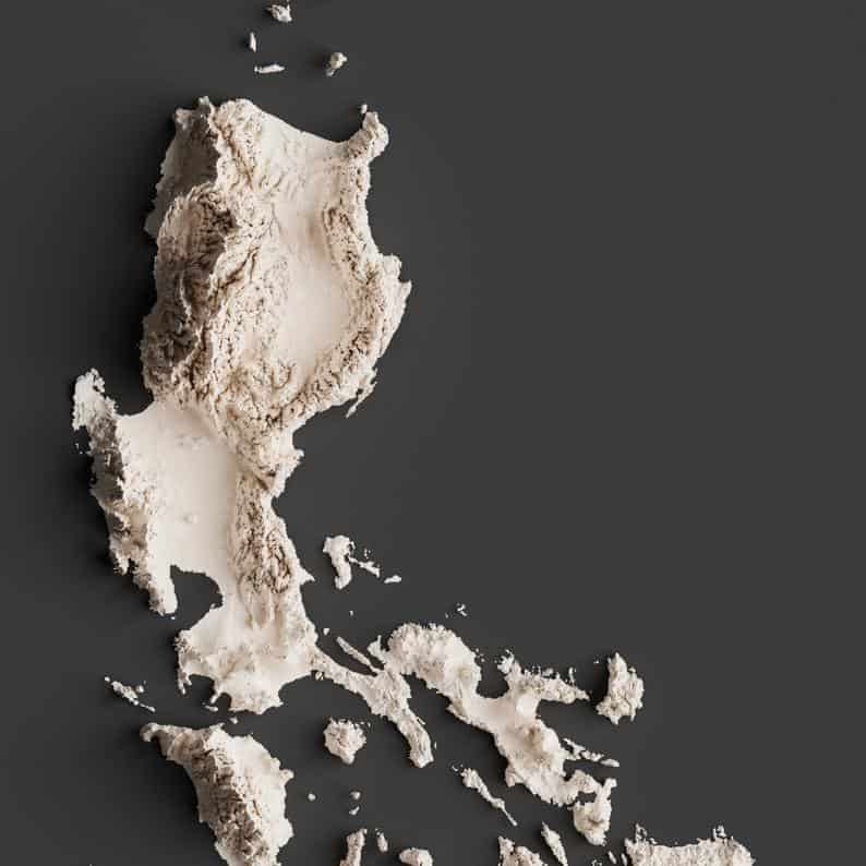
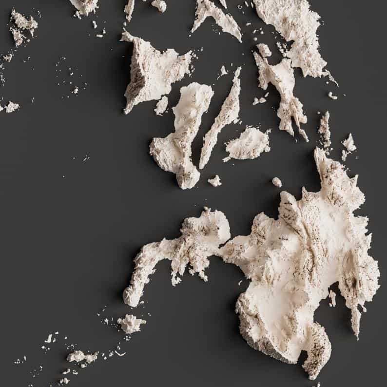
A creative netizen recreated a topographic map of the Philippines using his knowledge, patience, and skills in 3D computer graphics.
Miguel Valenzuela, the owner of MappdOut, posted a picture of the rendered white powder-like shaded relief map of the country on Reddit. The 3D illustration gained appreciation from the redditors, gathered more than two thousand upvotes and reached one of the top posts of the week in the subreddit.
“Whoa, ngayon ko lang nakita ang topographic map ng Pilipinas na klaro talaga ang elevation!”, user Flaymlad in awe after looking to the country’s map with detailed elevation.
Valenzuela said he used ArcMap for pre-processing and Blender for shading of the relief map. As for the data, the shapefile was from PhilGIS for delineating the borders. While the elevation data was from the SRTM missions, he replied in one of the questions.
For those who wants to have it in frame, the printable high resolution digital copy of the Philippine relief map is available to purchase at the Mappd Out Etsy online store.
Also Read: Netizen sells his portrait arts to aid pay mother’s hospital bill and medication